New valleys underneath Greenland’s 1.7-million-square-kilometre ice sheet are mapped for the first time by NASA scientists
By
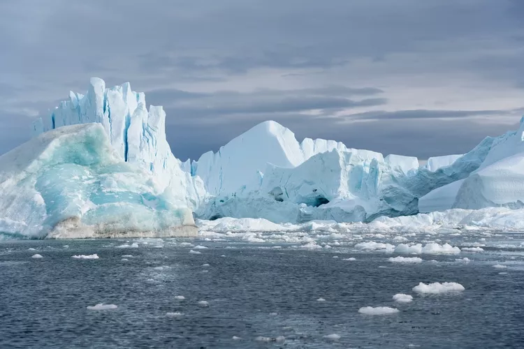
A new map by NASA has revealed an expansive hidden network of valleys carved into the surface underneath Greenland’s vast ice sheet. The Greenland Ice Sheet stretches for more than 1.7 million square kilometres (656,000 square miles) and is more than three kilometres (1.9 miles) deep at its thickest point.
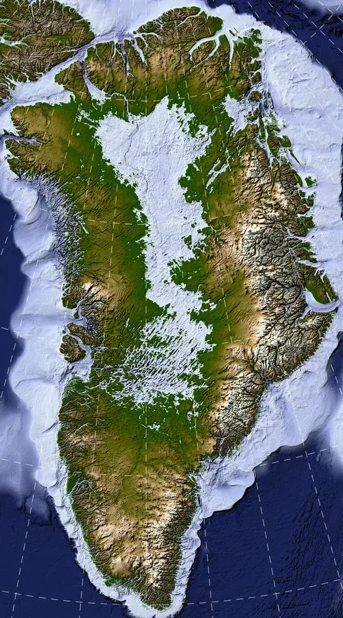
Many of the features of this new landscape – which scientists say features many interconnected valleys that criss-cross the island – formed before most of the ice above them existed.
Enjoying this article? Check out our related reads…
Published in Geophysical Research Letters, the map and accompanying research paper are described by scientists in great detail. The map was created using a technique known as ice flow perturbation analysis. This is when satellites map the ice surface, particularly its subtle bumps and troughs. In turn, scientists can use these signatures to understand how the landscape looks below.
Using this technique, researchers mapped almost 2,000 subglacial valleys beneath the Greenland Ice Sheet – one-third of which are newly identified.
Many of the valleys in the new map appear to begin in the southern and eastern highlands, where the ice sheet is thought to have first formed. The relatively wide angles at which the valleys branch also suggest that surface water didn’t act alone; rather, a widespread groundwater network is thought to have helped carve the valleys prior to the formation of the ice sheet.
By studying these valleys, scientists can better understand the ice sheet’s future. ‘The better we understand the topography now, the better sense we’ll have of what it will look like in the longer term—beyond the next decade or two—as faster ice flow propagates into Greenland’s interior,’ said NASA cryospheric scientist and co-author of the study Joe MacGregor.
A pocketbook guide to Greenland
Home to around 56,000 people, Greenland is sparsely populated – the capital Nuuk, is home to around a quarter of its total population. Nearly 90 per cent of Greenland’s population is Inuit or mixed Danish with Inuit.
The country’s economy is mostly bolstered by fishing, which accounts for more than 90 per cent of exports. In addition, tourism is expanding rapidly, while mining and rare-earth exploitation are becoming increasingly viable as countries begin to look at Greenland for minerals useful in the production of many everyday items.
On a standard Mercator map, Greenland looks roughly the same size as the continent of Africa. In reality, it is around 14 times smaller. To put Greenland’s real size into perspective, Geographical rounded up five maps, available to see here.