Geographical
Official magazine of the Royal Geographical Society (with IBG)
Mapping

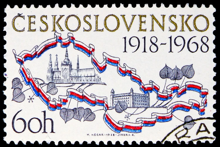
Ireland: Mapping the Island
Charting centuries of Ireland’s pasty Ireland: Mapping the Island reveals the island’s evolving identity through extraordinary maps
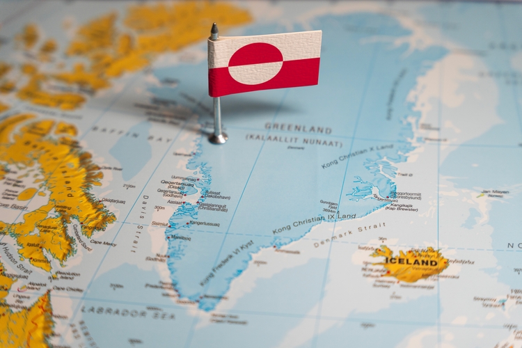
Greenland’s true size, according to five maps
Is Greenland really as big as it seems? Find out more about its true size with five maps that might change your perspective...
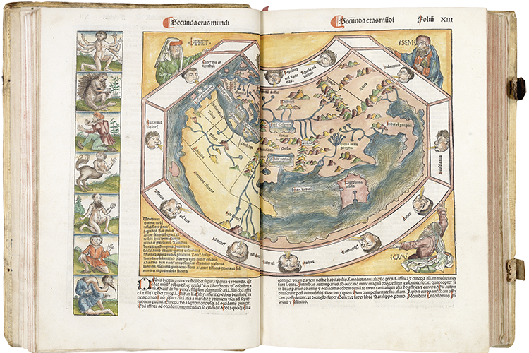
Oculi Mundi: the stories behind the maps
A digital journey through The Sunderland Collection, a treasure trove of terrestrial and celestial maps and atlases

Habitable Climes: A new exhibition from Kristina Chan
Kristina Chan's 'Habitable Climes' is a thought-provoking exploration of our relationship with maps and the ever-changing world around us
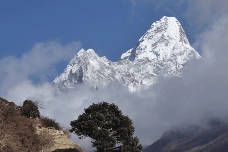
The 1,000 metre club of mountains
Daniel Quinn and colleagues have identified all the peaks on Earth with more than a 1,000-metres prominence
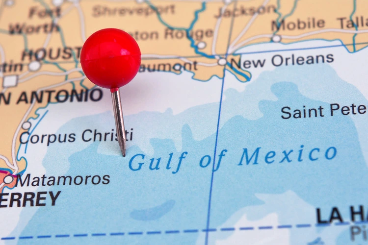
What’s in a name? The biggest disputes of naming territories across the world
Following Trump's decision to rename the Gulf of Mexico to the Gulf of America, find out more about naming disputes across the world…
Ten countries that no longer exist – and why
Find out more about the history of 10 countries across the world that no longer exist, and exactly why they vanished from the map
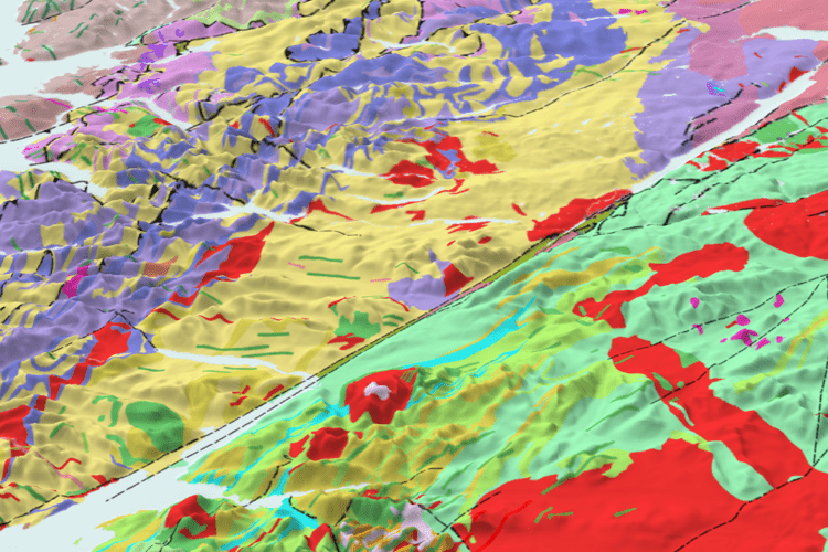
Ordnance Survey adds geological data to its Data Hub
Ordnance Survey has teamed up with the British Geological Survey to add geological data to the OS Data Hub

Untangling the New York City subway
Passions run high on the best way to map the New York City subway, the world’s most complex subway system
How maps tell the story of war in Ukraine
The way maps are created can have a significant impact on the way we view conflict, as shown by the war in Ukraine

Review: The Power of Geography by Tim Marshall
A review of Tim Marshall's latest book The Power of Geography: Ten Maps That Reveal the Future of Our World, published by Elliot & Thompson

New world map projection minimises 2D inaccuracies
A new, double-sided projection of the world seeks to minimise the inaccuracies of flattening the globe into a 2D map
Load More
Footer

Published in the UK since 1935, Geographical is the official magazine of the Royal Geographical Society (with IBG).
Informative, authoritative and educational, this site’s content covers a wide range of subject areas, including geography, culture, wildlife and exploration, illustrated with superb photography.
Click Here for SUBSCRIPTION details
Want to access Geographical on your tablet or smartphone? Press the Apple, Android or PC/Mac image below to download the app for your device


