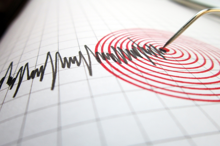
Scientists warn that a recently discovered fault could unleash a catastrophic future earthquake in Indonesia’s capital, Jakarta
By
When a 5.6-magnitude earthquake struck West Java, Indonesia, early in the afternoon on 21 November 2022, it caused massive destruction across the city of Cianjur (population 179,000).
Many of the 300 schools and more than 62,000 homes that were damaged or destroyed had simply not been built to withstand the shock. More than 100 aftershocks followed throughout the day, complicating rescue operations as the casualty count surpassed 7,000 injured and several hundred fatalities.
Enjoying this article? Check out our related reads…
Roughly 75 kilometres away, on Java’s northwest coast, the high-rise buildings in Jakarta’s central business district swayed. Panic spread and workers fled their offices, but minimal damage was reported in Indonesia’s largest city (population 41.9 million). While earthquakes are an all-too-common occurrence in the region, most, explains geoscientist Ekbal Hussain, occur in the ocean and in the subduction zone to the south and west of the major islands – away from the main population centres. But that may not always be the case.
Hussain, a researcher at the British Geological Survey, is part of a collaborative project between Indonesian and UK scientists that aims to address the risks facing Indonesia – one of the most hazard-prone countries in the world.
One of those hazards is the Baribis Fault system, a network of interconnected fractures in the Earth’s crust that runs across most of northern Java. Endra Gunawan, a geophysicist and professor at the Bandung Institute of Technology in West Java, says that Indonesian geologists have known since the 1990s that an active part of the Baribis Fault system cuts across the southern end of Jakarta. ‘What we’ve not known is exactly where it was located, or even whether it could be a dangerous one,’ says Hussain. ‘It turns out that it is.’
While colleagues mapped what is now known as the Jakarta Fault, Gunawan has worked to install a new network of GPS monitoring instruments on rooftops across the city. ‘It simply isn’t possible to do underground geological surveys due to the size of Jakarta,’ he says.
But with GPS measurements, scientists could measure the millimetre-scale ground movements that might indicate an accumulation of energy – energy that will, at some point, be released. ‘And that’s how we managed to estimate that the total amount of energy currently stored equates to something like a magnitude-6.5 earthquake,’ says Hussain. ‘It’s the type of scenario I don’t think anyone is ready for.’
‘A magnitude-six would be devastating for Jakarta if we do nothing,’ agrees Nuraini Rahma Hanifa, an expert in risk mitigation at Indonesia’s Research Center for Geological Disaster. Like in Cianjur, many of Jakarta’s residential buildings haven’t been engineered to withstand a moderate-sized earthquake or worse. ‘For new infrastructure, companies are following the latest seismic building codes. But there’s less effort for existing buildings because it’s much tougher to retrofit.’
It’s not just residential areas that would be affected, though they may be at greatest risk. Jakarta is the economic heart of Indonesia, home to manufacturing hubs, energy infrastructure and ports that handle most of Indonesia’s international trade. ‘The fault goes through all of it,’ says Hussain. It doesn’t help, he adds, that Jakarta sits on a deep basin of loose sand and sediment (which has made the city highly susceptible to subsidence). ‘This doesn’t just amplify ground movement, you get liquefaction [where normally solid soil temporarily behaves like a liquid].’

Historic subsidence has caused Jakarta to sink at an alarming rate of up to 25 centimetres per year in some areas, ultimately forcing the Indonesian government to relocate to a new capital, Nusantara. But the relocation will do little to mitigate the danger, as the vast majority of Jakarta’s residents will remain where they are. ‘Nusantara is planned to be Indonesia’s new administrative centre; Jakarta was always going to remain the economic capital and the main population centre,’ says Hussain.
While the team is working with communities in Jakarta to improve risk awareness and determine effective early-warning systems, the priority for further research on the Jakarta Fault is combining the latest GPS and satellite data to build a more comprehensive picture. This is crucial, Hanifa explains, because the Jakarta Fault is just one segment of a much larger system that cuts through some 500 kilometres of Java, including other major cities.
‘We’ve said that this segment alone could produce a magnitude-6.5,’ says Hussain. ‘If the whole system ruptures, however, we could face a catastrophic level of earthquake. That is the big question, and we don’t know if that’s possible yet. That’s the nightmare scenario.’