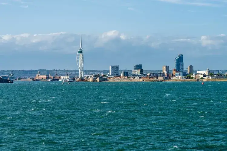
83 per cent of British cities are highly vulnerable to heat, with Portsmouth most at risk, new analysis finds
By
New analysis conducted by Ordnance Survey (OS), the Met Office and 4 Earth Intelligence has revealed the cities most vulnerable to urban heat in Britain.
It found Portsmouth, Leicester, Exeter, Nottingham, Brighton and Bristol are among the cities that will warm the most by 2100 due to the ‘urban heat island’ phenomenon.
This occurs when buildings, roads and surfaces absorb heat during the day, making cities much warmer than rural areas. The very infrastructure of cities also exacerbates the urban heat island effect: tall buildings and narrow streets reduce wind speeds that would carry heat away, and a lack of trees reduces the natural cooling effects of shade.
Enjoying this article? Check out our related reads…
Increased heat vulnerability in a city can lead to human health risks, especially for older individuals and babies. Extreme urban heat will also place additional pressure on transport networks, public services, workplaces and homes.
In total, 59 cities in Britain (83 per cent) are highly vulnerable to urban heat, while the remaining 12 cities (17 per cent) are classified as moderately vulnerable.
In particular, Leicester is projected to see the largest increase in heat vulnerability rankings, from 10th in 2026 to 4th by the end of the century. The most heat-vulnerable city today was Portsmouth, due to its highly built-up urban environment, followed by Carlisle and the City of Westminster. In both near-term and long-term projections, the City of Westminster ranks second.
The City of London recorded the least effective natural cooling of any city in the study, due to its combination of buildings, roads, and constructed surfaces, with limited green spaces, trees, and water.
The organisations behind the new analysis developed a Heat Vulnerability Index to rank how climate breakdown-related heat will affect urban areas, finding that by 2040, ‘rising summer temperatures are projected to push every city into the high vulnerability category’. By 2100, 45 cities (63 per cent) will cross into severe heat vulnerability, the ‘most serious level in the index’, the analysis warned.

The analysis comes after the Met Office announced that the UK’s summer was provisionally the hottest on record, with an average mean temperature of 16.5°C. In mid-August, three-quarters of England were officially in drought.
Previously, scientists have studied the impacts of the urban heat island effect. In 2025, The Lancet Planetary Health reported that around 399 of the 785 heat-related deaths in Greater London during the summer of 2018 were attributable to the urban heat island effect rather than to background temperatures alone.
‘What the Index shows is that the severity of urban heat islands is not uniform, and the cities most at risk of overheating during a heatwave are places where the built environment has grown at the expense of the natural one,’ said CEO of Ordnance Survey Nick Bolton.
‘Location-based insights like this have a critical role to play in evidence-based decision-making. They show where exposure is greatest as temperatures continue to rise, which of a city’s existing green and blue spaces need protecting, and where different interventions could have the highest impact in protecting communities and strengthening national resilience.’