Combining satellite data with traditional media reporting can help shed light on underreported aspects of conflicts
By
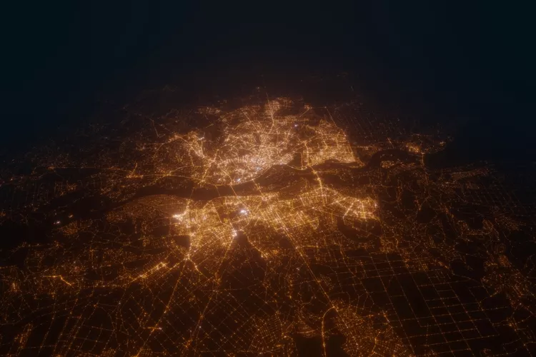
An international research team has shown how satellite data can help conflict research in war zones, providing a more comprehensive picture of conflicts.
Published in Nature, the research team, including researchers from the University of Zurich (UZH), has highlighted the benefits of using satellite data in tandem with text-based data such as media reporting. Satellite data is able to reveal developments which may only feature in limited ways in reporting, such as identifying areas of destroyed crops or damaged buildings.
Enjoying this article? Check out our related reads…
Until now, conflict research has relied primarily on text-based data which is often, as the research team say, ‘attention-driven’. Consequently, this means there is a lack of reliable data from places and periods which receive little media coverage and are ‘beyond the media spotlight’, as well as from types of events that often go underreported.
In addition, quantitative studies of conflict-related violence tend to mostly focus on fatalities, leaving other aspects of violence – and its social and environmental effects – undisclosed.
To come to their conclusions, researchers used empirical examples from Ukraine and Myanmar. In Ukraine, researchers linked satellite-derived data on damaged buildings alongside text-based data. By combining these two data sources, it became apparent that significantly more buildings were damaged in areas captured by Russian forces compared to areas recaptured by Ukranian forces.
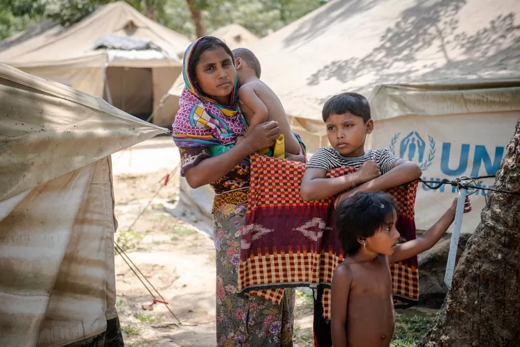
In addition, satellite data also helped to paint a clearer picture of the impacts of destruction in Myanmar. The targeted decimation of Rohingya homes continued long after the massacres had ended – an example of violence often unreported in text-based data.
‘In the longer term, the two data sources could be modelled jointly to identify patterns of violence that would otherwise remain hidden from us,’ said Professor at the Department of Mathematical Modeling and Machine Learning Jan Dirk Wegner.
The researchers remain hopeful that their new research could be valuable to organisations worldwide.
‘Combining satellite-derived and text-based data allows international organizations such as the UN or the ICRC to better assess the consequences of armed conflicts, identify particularly affected regions more quickly, and target humanitarian assistance more effectively,’ said professor of digital democracy at the University of Zurich Karsten Donnay.