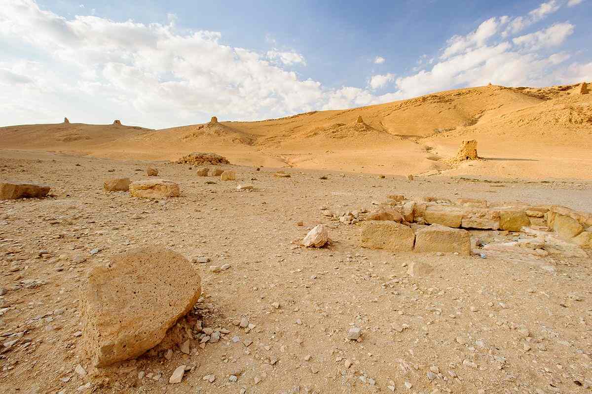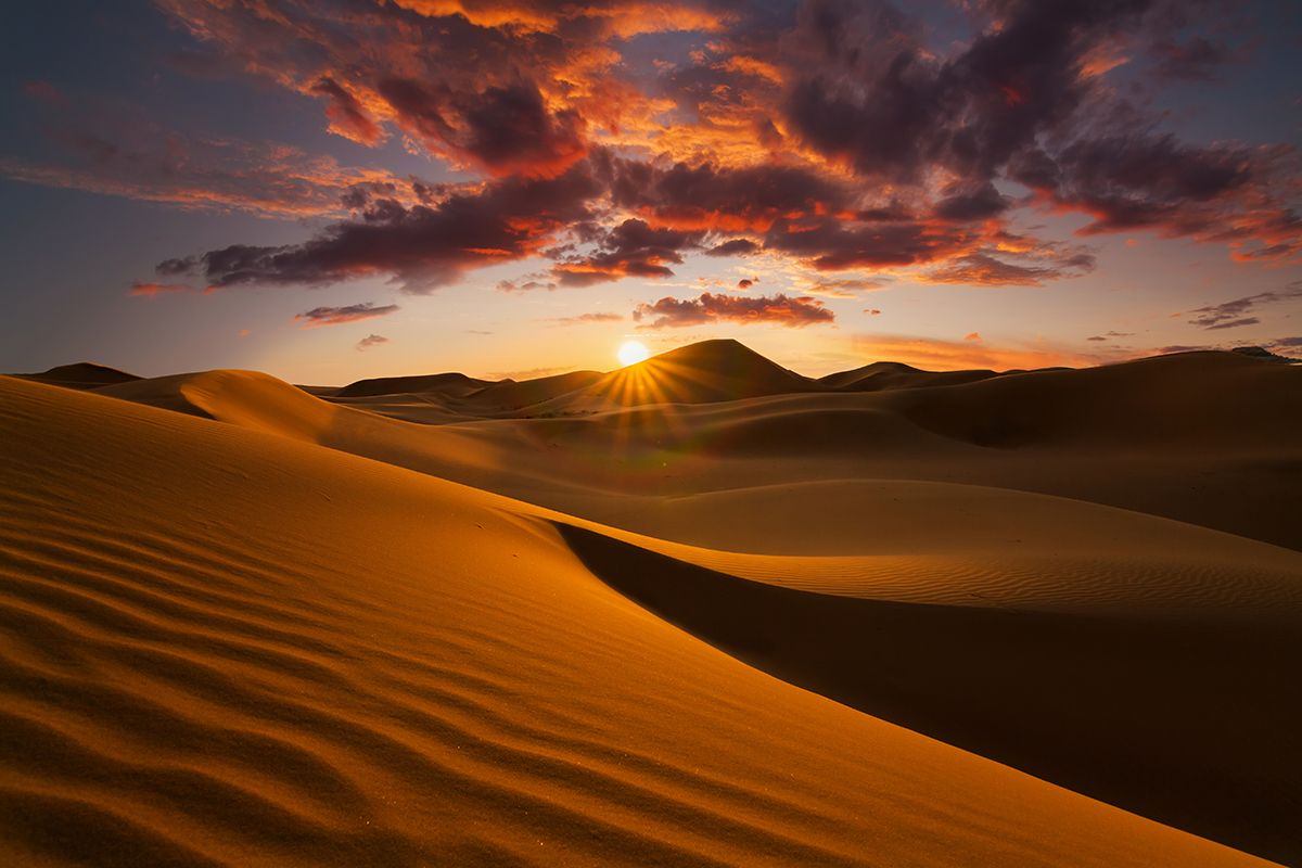
Deserts are arid ecosystems that receive less than 250 millimetres of precipitation a year on average. As the amount of evaporation in a desert often greatly exceeds the annual rainfall, there’s little water available for plants and other organisms, although many still find a way to survive.
While the common perception of a desert is a sandy expanse, sand dunes cover only about ten per cent of the world’s deserts, which can be divided into four types: hot and dry (also known as arid or subtropical), semi-arid, coastal and cold. Here we depict the world’s ten biggest deserts.
Antarctic – 14.2m sq km
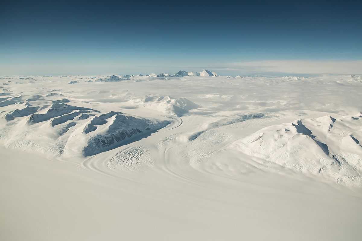
Antarctica is, on average, the coldest, windiest and driest of all the world’s continents. With an average annual precipitation of just 166 millimetres along the coastal regions and even less farther inland, it qualifies as a desert.
Both snow and sand dunes can form in Antarctica. The former are made of snow and found high on Antarctica’s interior, whereas the latter are found in dry valleys and created from sands washed out from the under the ice sheet.
The Victoria Valley of Ross Island is one of many ‘dry valleys’ near the Antarctic coast, with fine sand sediment accumulating into a glacial-outwash sand sheet. The valley’s aridity – coupled with its windiness – provide a unique set of conditions to create aeolian sand dunes.
What snow does fall doesn’t melt, instead building up over many years to create large, thick sheets of ice. The continent has no trees or shrubs; the only plants that can live in a region so cold and dry are mosses and algae.
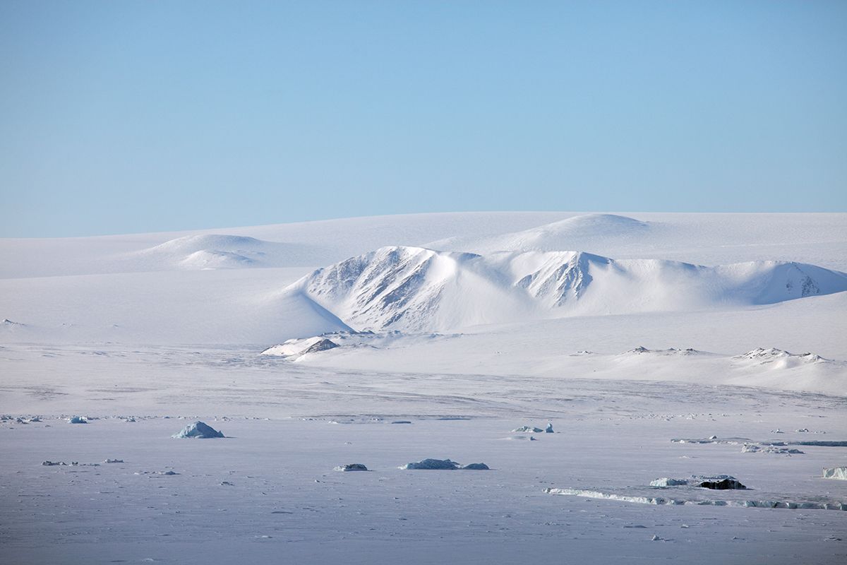
Arctic Tundra (Canada, Russia, Denmark (Greenland), Finland, Iceland, Sweden, Norway, USA – 13.9m sq km
Did you know?
Deserts are found on every continent and cover about one-fifth of the Earth’s land area. They are home to around a billion people — one-sixth of the global population.
Sahara (Western Sahara, Mauritania, Algeria, Mali, Niger, Libya, Egypt, Sudan) – 9.2m sq km

The Sahara Desert spreads east to west for 3000 miles, and 3700 miles across the entire width of northern Africa. The arid landscape provides an opportunity for environmental diversity, with wind-blown dunes, mountains and rock plateaus making up more than 50 per cent of its area.
During desert storms, dust from the Sahara can travel toward the Caribbean in summer, and South America in winter. In South America, these dust deposits are now thought to be a key source of nutrients for the Amazon rainforest. Any dust deposited in the ocean fertilises the water with iron – which promotes algal growth – and consequently more absorption of carbon dioxide from the atmosphere, reducing the effects of greenhouse gases.
The Sahara Desert is also currently being used to generate renewable energy from the sun, on the northern margins on the desert in Morocco, near the Atlas Mountain town of Ouarzazate. Thought to be the world’s largest concentrated solar energy plant, it can produce enough energy to power 120,000 homes.
Want to read more on deserts?
Australian Desert – 2.7m sq km
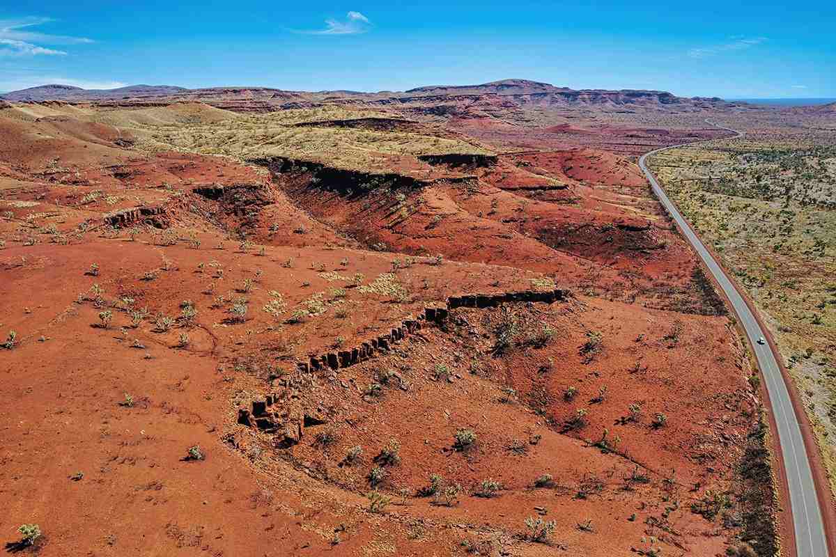
The Australian desert is really ten interlinked smaller (although by no means small) deserts, including the Great Victoria Desert (348,750 sq km) and the Great Sandy Desert (267,250 sq km). Together, they cover 18 per cent of the mainland and contribute to making Australia the world’s driest inhabited continent (only Antarctica is drier).
Seventy per cent of the mainland receives less than 500 millimetres of rain annually, which classifies most of Australia as arid or semi-arid – although 50,000 years ago, the Kati Thanda-Lake Eyre megalake was found in the continent’s arid interior along with other megalakes that reached depths of 50-65 feet (15-20m metres) and covered more than 9650 square miles (25,000 sq km).
Today, Australia’s deserts are far from deserted, populated by bilbies (long-eared marsupials also known as rabbit-eared bandicoots), dunnarts (mouse-sized marsupials), kangaroos, bats, dingos, numerous native rodents and myriad reptiles.
Arabian Desert (Saudi Arabia, Jordan, Iraq, Kuwait, Qatar, UAE, Oman, Yemen) – 2.3m sq km
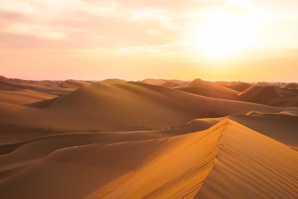
The Arabian Desert encompasses almost the entire Arabian Peninsula, blanketing the area in sandy terrain and seasonal winds. Around half of the Arabian Desert is made up of mountains and rock surfaces.
With rare rainfall and occassional puddles, you might think that no animals could survive in the desert’s sweltering temperatures. But the Arabian oryx (Oryx leucoryx) is able to survive without access to permanent drinking water – maintaining its water balance as long as it feeds on foodstuffs that have at least 35 per cent water.
The desert is also home to the Rub’ al-Khali (the Empty Quarter), one of the world’s largest continuous bodies of sand. Despite the name, Bedouin tribes have crossed these sands for centuries, herding animals (camels, sheep, goats or cattle) into the desert during the rainy winter season and moving back toward cultivated land during the dry summer months. Today, however, only an estimated five per cent of the Bedouin people still live as pastoral (semi)nomads.
Gobi Desert (Mongolia, China) – 2.3m sq km
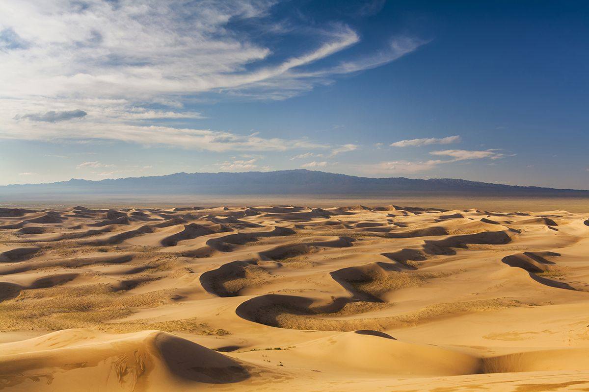
The Gobi Desert – which translates to ‘waterless’ place – sits at a relatively high altitude, ranging from 2900-5000 feet (900-1500m) above sea level. Gravel or stony deserts – comprising weathering residuals and eroding bedrock – form a major part of Mongolia’s Gobi Desert, and only three per cent of the Mongolian side is composed of sand dunes.
Combined with the distance from the moderating effects of the ocean, the Gobi Desert experiences temperature extremes. Mean monthly temperatures often exceed 30C, while mean monthly winter temperatures can sometimes struggle to reach 0C. Along with the Kyzylkum Desert, the Gobi Desert may have just 100 frost-free days per year, restricting the amount of vegetation that can grow there.
Kalahari Desert (Botswana, Namibia, South Africa) – 0.93m sq km

The Kahalari stretches from the Orange River in South Africa to the Okavango Delta in northern Botswana. With many dune-covered sands, the desert also reaches north into the tropics to the Kalahari Basin.
Strictly speaking, the Kalahari doesn’t fit the definition of a desert as its wettest regions can receive more than 500 millimetres of rain in very wet years. However, it remains extremely dry. Rain filters rapidly through the vast expanses of sand, leaving nothing on the surface. In fact, the name ‘Kalahari’ is derived from the Tswana word kgala, meaning ‘the great thirst’, or kgalagadi, meaning ‘a waterless place’.
Some people favour a definition of a desert as a region in which the evaporation rate is twice as great as the precipitation, which is true for the southwestern half of the Kalahari. The desert is home to several important national parks and reserves, providing sanctuary for antelope, elephants, giraffes, many bird species and various predators
Patagonian (Argentina, Chile) – 0.67m sq km
Thanks to the high mountains bordering the desert to its west, Patagonia experiences little rain. However, it is one of the windiest places on Earth, with persistent strong and dry wind causing trees to bend as they grow.
Grasses and xeric shrubs dominate the landscape, with much of its surface covered in rocks or gravel. Mean annual rainfall ranges from 16.5 inches (400mm) to 6 inches (1500) in the east. Mean temperatures can fall as low as 5C on the southern island of Tierra del Fuego.
Recent research has shown that people first reached Patagonia 13,000 years ago.

Great Basin (USA) – 0.49m sq km
The Great Basin is bordered by the Sierra Nevada range on the west, the Wasatch Mountains on the east, the Columbia Plateau on the north, and the Mojave Desert on the south. Most of the state of Nevada lies within the Great Basin.
One of the oldest trees in the world, the Bristlecone Pine, grows in the Great Basin – with some of these
Cool Fact #1:
The Bristlecone Pine are some of the oldest trees on earth. They live in the Great Basin, some are 4,000 years old.
Previously, the Great Basin contained over 80 pluvial lakes and at their maximum, covered an area more than ten times bigger than the area of today’s salt lakes. Shrubs dominate the Great Basin, including the seminal sagebush.
The salt lakes at the Great Basin are always fluctuating due to climate change related impacts such as droughts, as well as human pressures including demands for water from other cities. The Great Salt Lake in Utah has faced lows of 950 square miles in 2021 and 2022, compared to a maximum of 3300 square miles in 1988.
Since the early twentieth century, the Bonneville Salt Flats have been used for motorsports – in particular trying to break the world land speed record – due to its dry and smooth environment.
Syrian Desert (Iraq, Syria, Jordan, Saudi Arabia) – 0.46m sq km
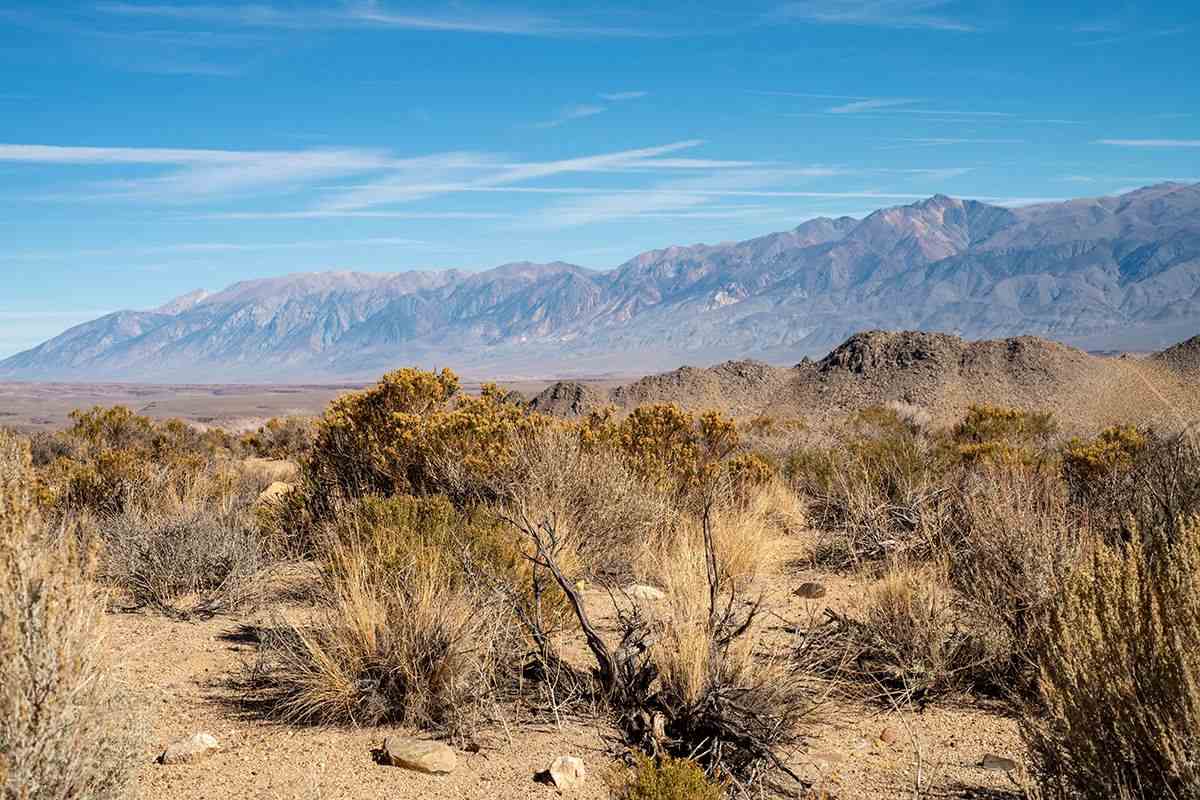
The Syrian Desert is in southwestern Asia and extends from the Arabian Peninsula, much of northern Saudi Arabia, eastern Jordan, southern Syria and western Iraq.
It receives an average rainfall of less than five inches, but many animals are able to survive in these conditions including vipers, lizards and chameleons. The Syrian Desert is also the origin of the golden hamster, where the animal lives in dry, rocky and shrubby plains or slopes.
The UNESCO World Heritage site of Palmyra – an oasis north-east of Damascus –can be found in the desert too, which contains city ruins of a major cultural hub in the ancient world.
