For five decades, the RGS Explore Weekend has helped turn ambitious ideas into viable expeditions. Diana Maclean traces the event’s evolution and asks what exploration is for today
You’d always come out of Shane’s office with a better idea than you’d gone in with,’ says engineering and technology consultant Nick Smith. ‘She is excellent at spotting the issues. I reduced asking for her opinion to: “I’m thinking of doing this – what’s wrong with it?”’
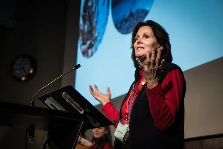
Smith was far from alone. For generations of would-be explorers, field scientists and expedition leaders, Shane Winser has been the Royal Geographical Society’s consummate ‘critical friend’: someone prepared to listen seriously to an idea, identify its weaknesses and help turn it into a viable project.
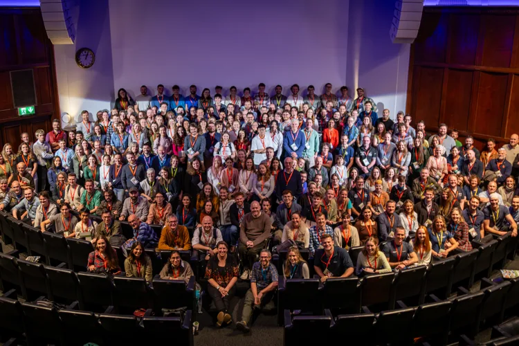
In November this year, the RGS marks 50 years of the Explore Weekend, its flagship gathering for people planning expeditions and field research.
The event has changed significantly since the first Planning a Small Expedition Seminar in 1976, but its central purpose has endured: to bring aspiring explorers together with people willing to share hard-won knowledge of project design, logistics, safety and research. Shane has played a defining role in that community.
To understand how, however, it’s necessary to return to Explore’s beginnings – and to an era in which international travel was becoming more accessible and environmental awareness was growing.
Ideas into expeditions
Former RGS-IGB deputy director Nigel Winser recalls how his own undergraduate field research, supported by the Polytechnic of Central London, helped spark the idea. ‘After putting three expeditions together, fellow student Richard Matthews and I thought: “Why don’t we have a conference bringing together people who were active in expeditions?”’
They formed a new exploration society and invited speakers. The RGS sent its president, Sir Duncan Cumming and director, Dr John Hemming; the Scientific Exploration Society sent Richard Snailham. ‘How cool is that?’
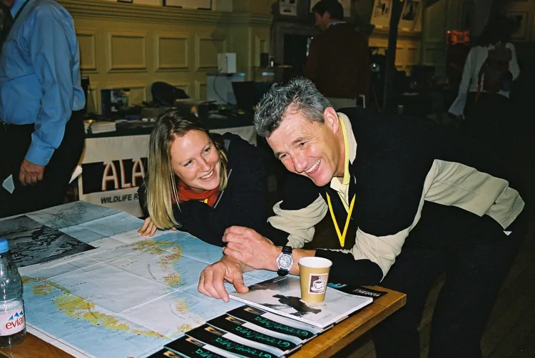
Nigel says. ‘The two little booklets that resulted had more impact on me than anything else.’ The conference moved to the Royal Geographical Society the following year.
In those early days, subjects such as expedition medicine were compressed into 20-minute talks between tea and closing remarks. Yet the event opened a door onto a remarkably broad world.
Shane, then a zoology student with an interest in natural history, attended the first one-day seminar at the invitation of a friend planning to travel down the Amazon on a raft. ‘Before the tea break had finished, I was invited to apply to the RGS’s next major research programme, in Gunung Mulu National Park in Borneo,’ she recalls.
‘Nigel Winser was one of the speakers. The rest, as they say, is history.’ The early seminars encouraged students to devise expeditions that complemented their university studies.
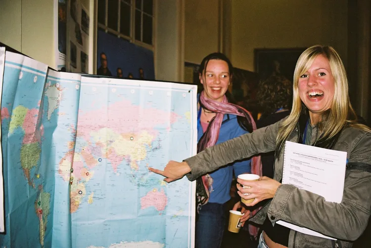
Alongside the allure of remote environments, the programme emphasised less glamorous, more essential matters: permissions, reliable sources of information, project design, teamwork, fundraising and logistics.
Participants learned what it took to live and travel safely in environments ranging from mountains and deserts to tropical forests, caves, rivers and polar regions – and how to con-duct useful field research once they arrived.
A base camp for explorers
Growing demand for planning advice led to the establishment of the Expedition Advisory Centre (EAC) in 1980. At the time, John Hunt, leader of the 1953 Mount Everest expedition and first director of the Duke of Edinburgh’s Award, was president of both the RGS and Young Explorers’ Trust.
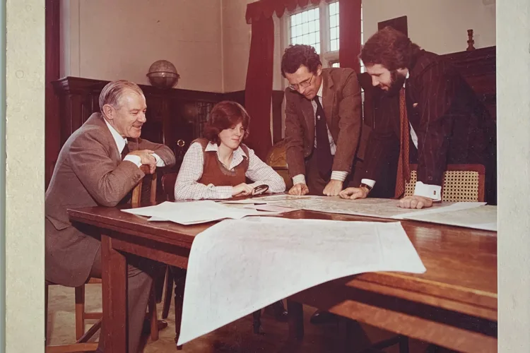
The EAC’s aims were ambitious: to improve the quality, effectiveness and safety of overseas expeditions while helping them contribute meaningful geographical and scientific research. John Hemming, then director of the RGS, recalls securing early support. The government’s STEP programme funded Nigel’s and Shane’s salaries for their first three years at the Society, he says.
In 2006, the EAC was re-branded as Geography Outdoors: the centre supporting field research, exploration and outdoor learning to reflect the broad audiences that this work encompassed. Today. this team at the RGS is simply known as ‘Explore’. Shane remained the constant, supported by staff and a wide network of volunteers.
Drawing on the Society’s maps, reports and accumulated expertise, the EAC amd Geography Outdfoors developed specialist training for increasingly ambitious field research. ‘We particularly wanted to encourage expeditions to develop well-designed, appropriate projects, especially those involving environmental research and conservation,’ Shane says.
‘We wanted to improve the quality of grant applications, increase the benefits arising from the results – locally, nationally and internationally – and contribute to the career development of participants in both home and host countries. Not least, we wanted to increase safety and responsibility towards every team member and the environments in which they worked.’
The scale of that work grew rapidly. By 2005, the EAC was reportedly receiving 15,000 enquiries a year and advising and training more than 500 expedition teams. Commercial partnerships supported some of the practical work.
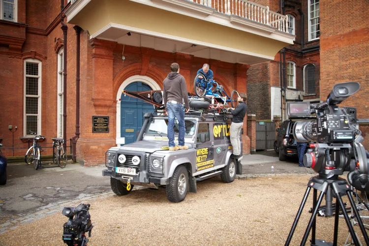
Land Rover provided driver training and supplied or loaned at least 25 vehicles to Society-supported research projects. Between 2008 and 2020, the Land Rover Bursary supported 11 journeys intended to promote a wider understanding and enjoyment of geography. ‘The Land Rover Experience training given to people embarking on long journeys in unfamiliar terrain has saved lives and vehicles,’ Shane says.
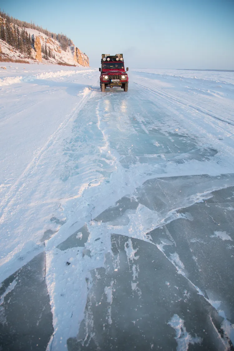
‘Working in remote and challenging environments had been central to Land Rover’s image for more than 50 years, making it a natural fit for geographers.’
Changing tools, enduring principles
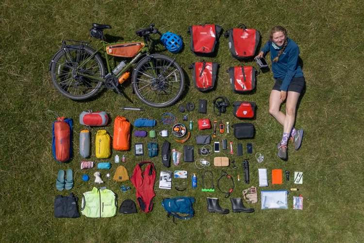
The equipment available to expedition teams has been transformed. Early seminar participants learnt to navigate deserts with a sun compass and to plot routes us-ing printed maps and magnetic compasses. VHF radios, signalling mirrors, lamps, semaphore flags and Morse code all featured.
International telephone calls could be both unreliable and prohibitively expensive until satellite phones became available in the 1990s. Plane-table mapping was also standard practice. During the 1960s and ’70s it was used to map Icelandic glaciers for the Iceland Glacier Survey.
Led by Tony Escritt and the Young Explorers’ Trust, the project drew on fieldwork by school and youth expeditions. Repeat surveys by the British Schools Exploring Society produced accurate hand-drawn maps that have since become valuable records of environmental change. Today, mobile and satellite communications – including Starlink – make almost constant contact with the outside world possible.
Live-streaming can bring fieldwork directly into classrooms. Ed Stafford, who once served tea at Explore when he couldn’t afford a ticket, later took part in one of the event’s early live-streaming experiments during his expedition along the Amazon.
Mapping changed just as dramatically. By 2001, the EAC had convened the Expedition Mapping Unit, a volunteer advisory group led by Nicholas McWilliam and Richard Teeuw. It produced a GIS manual for the Expedition Field Techniques series and ran courses introducing geospatial technologies to conservationists and environmental field researchers.
The RGS’s relationships with ESRI and Google Earth were a result of the increasingly widespread use of these publicly available geospatial tools for a wide range of applications, for environmental field research and the teaching of geography in schools. The EAC pioneered courses to encourage the use of these tools.
Between 2007 and 2009, 539 teachers were trained in the use of Google Earth on 35 courses, at 14 different venues, and ESRI StoryMap helped share expeditions with pupils and others who were unable to go into the field.
The means of sharing results have also multiplied. Where expeditions once relied principally on written reports, scientific papers and public lectures, teams now use social media, blogs, podcasts, video and interactive maps. Yet the obligation to communicate useful findings remains fundamental.
‘Without sharing your findings, it’s a holiday,’ Shane says. The Society has maintained a dedicated collection of expedition reports since the 1960s. Its catalogue evolved from punched index cards to word-processed lists and then an Access database.
Today, the open-access RGS Expeditions Database contains records of more than 10,000 past, ongoing and planned expeditions, along with more than 6,500 reports. Its historical records reach back to the 1960s.
Raising the standard
As expeditions became more ambitious, expectations surrounding safety and responsibility also changed. Concern about accidents, litigation and the possible loss of opportunities for young people prompted work to strengthen training and risk management. The RGS subsequently played a central role in developing BS 8848, the British Standard for organising overseas visits, fieldwork, expeditions and adventurous activities.
The standard gave organisations objective criteria against which to assess planning, leader competence and safety management. For universities and other institutions, it provided a framework through which overseas fieldwork could be evaluated and approved. The purpose of expeditionary research has continued to broaden.
Threats to tropical forests were becoming prominent when Explore began in 1976. Ozone depletion, ocean warming and acidification, melting glaciers, accelerating biodiversity loss and climate change have since reshaped research priorities.
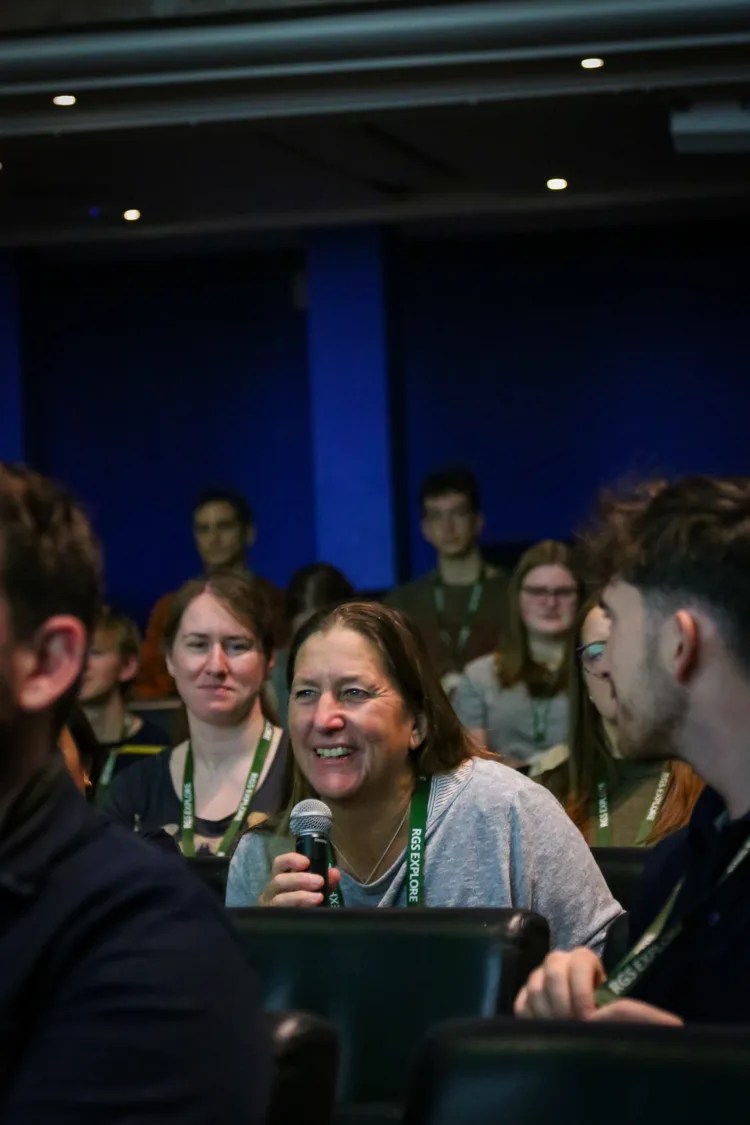
The technologies may be new and the environmental questions more urgent, but Explore’s underlying method remains recognisable: bring together people with ideas and people with experience, then subject the proposed project to informed scrutiny.
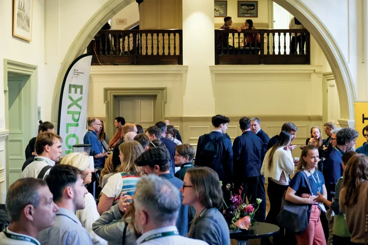
A force for good
For Shane, the rewards aren’t confined to spectacular discoveries. ‘The sense of achievement that comes from helping a team turn a dream into reality is immeasurable, and supporting them during the inevitable bumps along the way,’ she says. ‘Expeditions provide a sense of purpose, often growing from a passion.
Working as a team can create lifelong friendships, including across cultures. Not every expedition will produce Earth-shattering results, but it may be the start of a career or a relationship with a people or place that lasts for decades.’ Hearing that someone who attended Explore has returned from an expedition remains especially satisfying.
‘Sometimes the role the RGS has played in shaping a person’s career does not emerge until many years later,’ Shane says. ‘Expeditions are both an important rite of passage and a contribution to geographical knowledge.’ She is quick to share the credit.
The ‘Explore’ energy has always depended on volunteers from the RGS Fellowship and beyond, especially those specialists who advise on safe and purposeful geographical exploration, built on their own hard-won experience. For Nick Smith and many others, however, Shane’s particular gift has been her willingness to take people and their ideas seriously.
‘No matter how frosty she was or how cross she became with us, we understood what she was doing,’ he says. ‘She was supporting us. We felt part of her team.
Shane’s superpower was always listening to young people and taking them seriously. That is the quality she and her team has carried into the much larger community that Explore has become.’ Shane acknowledges that her advice could be uncompromising.
‘Over the years, I have learnt to be a little gentler and to preface my one-to-one advice by saying: “This is only my opinion. Remember, this is advice – and it is your expedition.”’
And her one conclusion that has survived 50 years of new technology, changing priorities and thousands of proposed journeys: ‘I have learnt to say that no expedition is impossible.’