Explore the complexities of predicting and forecasting hurricanes, and how AI can be used to help monitor them before they strike
By
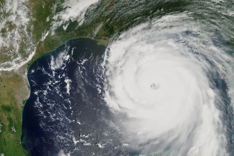
When hurricanes make landfall, they unleash an immense amount of power, putting coastal communities at risk from destructive winds, heavy rainfall and storm surges. With Florida currently recovering from Hurricane Milton and Hurricane Kristy on its way, hurricanes are wreaking havoc across many parts of the world.
Forecasting hurricanes is vital for giving people time to prepare, evacuate and protect their property. But how exactly do scientists predict when and where a hurricane will strike?
The information and technology behind hurricane forecasting
Most hurricane analysis is conducted in the US – a key region for hurricane and tropical cyclone activity. While hurricanes are often tracked globally, the responsibility for forecasting tropical cyclones in the areas affected lies with the regional centres.
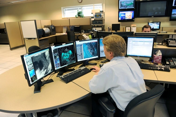
The National Oceanic and Atmospheric Association (NOAA) are one of the primary organisations of specialists behind hurricane prediction and forecasting and their task begins with collecting and analysing data.
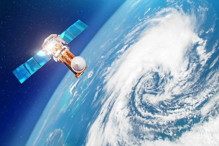
Satellite imagery, observational data such as wind speed and rainfall total and computer models help to make informed predictions about hurricanes, tropical depressions and storms. The best data comes from the NOAA’s satellites which monitor tropical cyclones around the clock.
The first US weather satellite was launched in 1960. Before their existence, tracking tropical cyclones was almost impossible, with many storms passing completely undetected until they made landfall.
Polar-orbiting satellites provide additional insights by using microwave instruments that assess storm size and structure. If it is believed a storm is going to threaten land then the National Hurricane Center deploys the US Air Force Reserve and the NOAA Hurricane Hunter aircraft to gain more detailed observations.
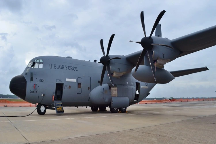
These specially equipped planes fly directly into the heart of storms to gather real-time data on wind speeds, pressure, and storm structure, providing vital information that enhances forecasting accuracy. Capable of even flying through the eyewall of a hurricane, the Hurricane Hunter aircraft helps meteorologists better understand the dynamics of these powerful systems, enabling more precise predictions and timely warnings for affected areas.
Observations from ships at sea are also very useful, although once the existence of a storm is confirmed and its potential path is decided, they need to quickly evacuate the area.
Once hurricanes have been detected their track is forecast using a combination of numerical forecasting models, synoptic forecasting and statistical methods, which have been developed from the study of the behaviour of past storms.
Hurricanes are unpredictable, so the weather systems are carefully monitored, and their tracks and forecasts are updated multiple times a day to ensure the highest accuracy possible – ultimately saving lives through ordered evacuation.
How accurate is hurricane prediction?
Hurricane forecasting has significantly improved in recent decades thanks to technology and data collection advancements. Since 2000, NOAA believes that their track error has decreased by 64 per cent.
The National Hurricane Center in the US has become increasingly precise in predicting hurricane paths, with forecasts typically accurate within a few hundred miles radius several days in advance.
However, predicting a hurricane’s exact intensity can be more challenging. Factors such as changes in ocean temperatures, wind shear, and the storm’s interaction with land can all influence a hurricane’s intensity, leading to surprises even for highly experienced experts.
Hurricane Katrina in 2005, showcased these challenges; while the path was forecasted reasonably well, the storm’s rapid intensification before landfall was unexpected.
What happens if predictions are wrong?
When hurricane forecasts have inaccuracies, there can be severe consequences for communities, making it an anxious job to be a meteorologist.
Underestimating a storm’s strength can result in insufficient evacuation orders, putting lives at risk, while overestimation can cause wasted resources, economic disruption and unnecessary evacuation. It can also be difficult to redirect resources and response teams when hurricanes unpredictably change course, meaning help may not reach the worst affected areas as quickly.
The best way of addressing these challenges is to continually refine models and use real-time data to update hurricane forecasts, even after they have made landfall.
Despite the potential for errors, scientists are committed to maintaining public safety as best they can and aim to make sure communities are as prepared as possible for potential disruption, making sure to make improvements to their predictions during future storms where possible.
The future of hurricane prediction
Artificial intelligence (AI) is expected to transform hurricane forecasting by enhancing prediction accuracy and speed. AI algorithms can quickly analyse huge amounts of data from satellite imagery, computer models and historical patterns, rapidly identifying trends that may have been missed using traditional methods.
However, there are a number of challenges that need to be overcome in utilising AI for prediction. AI systems have exhibited issues in gauging hurricane intensity, storm surge potential and assessing precipitation. Further data training is needed to increase AI’s accuracy in hurricane forecasting.
As AI continues to advance, it is expected to make hurricane predictions more accurate and timely, ultimately saving lives and reducing damage.


