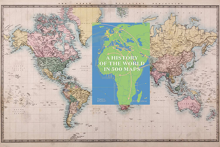
Flip through the history of the world in 500 maps and engaging texts, in this accessible and informative atlas
Review by Katherine Parker
The historical atlas is a beloved format for students and teachers alike. Both will enjoy this expansive addition to the genre, which focuses on the peopling of the world, the utilisation of resources and the connectivity – and clash – of cultures across the centuries. Indeed, a broad readership will easily lose themselves in its 500 maps, which are each accompanied by engaging texts. Together, they tell the story of human interaction with the globe from seven million years ago to just before the Covid-19 pandemic taught us to make new types of maps.
Originally published in French in 2019, the English version is an accessible, informative volume that, as it explains, is actually several atlases in one. Readers can pick their own preferred narrative by flipping across time and selecting a geographic focus; each section, of which there are nine arranged chronologically, begins with larger vistas of phenomena and then has numerous more specific maps that cover everything from the spread of universities across Europe from the 13th to the 15th centuries to underwater cables in the 21st century.
The editors explain in their introduction that maps require decisions. And here, even with 500 maps, there’s a selection process at work that may leave some readers wanting for specific trajectories and topics. For example, although there’s a continual emphasis on economics, commerce and migration, the impact of the Transatlantic slave trade is only lightly addressed. Similarly, Indigenous perspectives are present, but not abundant. However, such critiques of lacuna in subject coverage are inevitable in any book that attempts to include all of human history.
As the editors write, each of these maps hides a library of research and expertise. Together, they offer a history of our world via visual spatial analysis that invites one to explore that world with curiosity and agency.


