Satellite imagery shows that China has been constructing a mega dam in Tibet and that worries the downriver nations of India and Nepal
By
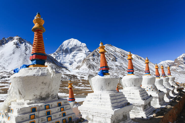
Originating close to sacred Mount Kailash, high on the remote, western part of the Tibetan plateau, the Mapcha Tsangpo River, which means the Peacock River in Tibetan, flows away from the slopes of this holiest of mountains and into Nepal, where its name changes to the Karnali. One of the most important rivers to rush through Nepal, it provides reliable freshwater for millions of people and waters huge swathes of farmland. Continuing its southward journey, the river then enters India where it’s a major tributary of the all-important Ganges River, which brings life to many hundreds of millions more people.
But, new satellite imagery appears to indicate that China has recently completed the construction of a huge new dam on the Mapcha Tsangpo River, very close to the politically important tri-junction border of Tibet, Nepal and India. And that has the governments of Nepal and India worried.
India and China are the two big powers of Asia, and they have long been uneasy neighbours. The 3440km long mountainous border between the two is ill-defined and long disputed. In 1962, China and India briefly went to war against one another along this border, and since then, there have been numerous skirmishes between the two sides, including in 2020, 2021 and 2022.
In the past few years there has been a spate of infrastructure construction along the India-China border by both sides. Much of this infrastructure, which has included road and airport construction, is intended for military use. But in the case of China, it has also included the construction of mega-dams inside the Tibet Autonomous Region, which could potentially allow China to control water flow into Nepal and India.
Work is thought to have started on the dam in 2021 and, according to a recent report in Newsweek who analysed satellite images of the site, the dam is now completed and filling up with water. The concrete dam, which is situated just 28km from the Nepalese border town of Hilsa (population 51,000) and 60km from the India border.
This is not the first mega-dam that China has built within Tibet, and it is very close to India. In 2021, China announced plans to link Tibet’s river systems with the rest of the country, and that doing so would involve building a mega dam on the Yarlung Tsangpo River (which also originates close to Mount Kailash) at the eastern end of the Tibetan plateau along the disputed border with the Indian state of Arunachal Pradesh. Once the Yarlung Tsanpo bores its way through the eastern Himalaya, it becomes the Brahmaputra River, which is a critical source of freshwater for inhabitants of northeastern India and Bangladesh. In a 2022 report for the United States Institute of Peace, Mark Giordano and Anya Wahal from Georgetown University’s Walsh School of Foreign Service stated that ‘The Brahmaputra would appear to be at the top of the list of conflict hotspots. The river is shared between four states, including the world’s two most populous, China and India. Both have rapidly growing economies, and both are already among the most water-stressed in the world.’
In recent years India has protested the construction of mega dams upstream of some of its key rivers by refusing to purchase electricity from sites with Chinese investment, such as the Chameliya hydropower station in Nepal, built with Beijing’s financial aid.
The apparent completion of this new dam is only likely to increase tensions in an already volatile border area.
Related articles:


